Central Lakes State Trail
Rail-trail in Minnesota · OpenStreetMap relation
The Central Lakes State Trail is a paved recreational rail trail in central Minnesota, United States, running along a former Burlington Northern Railroad line. The trail is marked with mileposts every mile, corresponding with the mile markers of the former railroad line. Snowmobile use is allowed on the trail in winter, conditions permitting.
From Wikipedia2 (CC BY-SA). Help improve the article and it improves here.

About this trail
Photos
-
 Fergus Falls, along the trail
Photo: Ken Lund · CC BY-SA · Flickr -
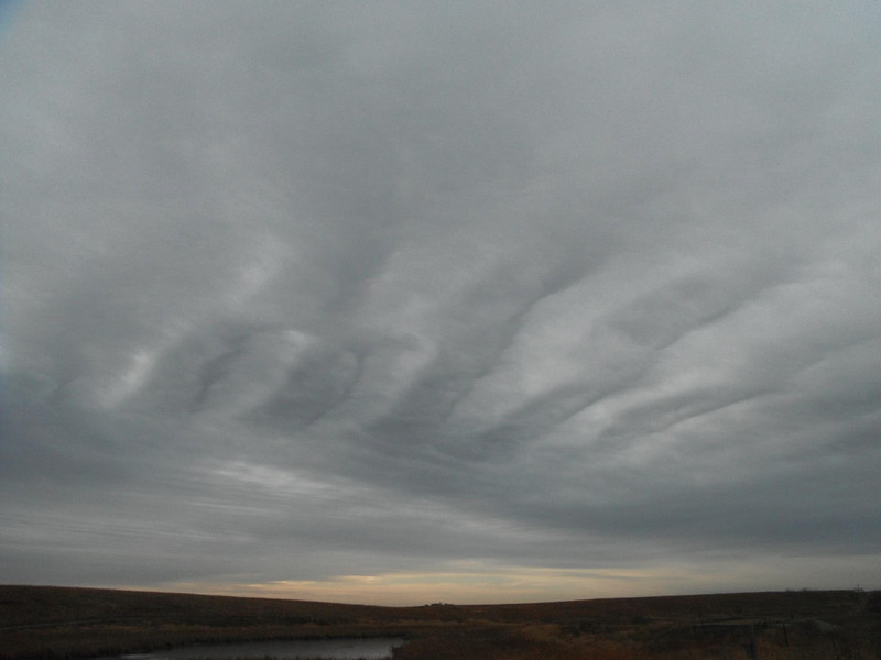 Fergus Falls, along the trail
Photo: USFWS Headquarters · CC BY · Flickr -
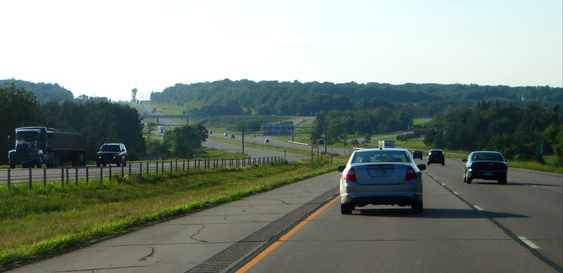 Fergus Falls, along the trail
Photo: Ken Lund · CC BY-SA · Flickr -
 Fergus Falls, along the trail
Photo: Ken Lund · CC BY-SA · Flickr -
 Fergus Falls, along the trail
Photo: Bruce Guenter · CC BY · Flickr
Photos and rider notes
Trailheads
- 1 Parking directions
- 2 Parking restrooms · water directions
- 3 Parking directions
- 4 Parking directions
- 5 Parking restrooms directions
- 6 Parking directions
- 7 Parking directions
- 8 Parking restrooms directions
- 9 Parking restrooms directions
- 10 Parking directions
- 11 Parking directions
- 12 Parking restrooms · water directions
- 13 Parking restrooms directions
- 14 Parking directions
- 15 Parking directions
- 16 Parking directions
- 17 Parking restrooms · water directions
- 18 Parking directions
Take it with you
Open data, ODbL. Attribute BikeTheRail and OpenStreetMap contributors.
Something wrong?
Closed section, wrong surface, missing piece? Tell us and a person will check it. Report a problem.
Sources
- OpenStreetMap relation 1421155, OpenStreetMap contributors · Map data · ODbL · checked Oct 12, 2026
- “Central Lakes State Trail”, Wikipedia · Encyclopedia · CC BY-SA 4.0 · checked Oct 12, 2026
- Wikidata Q5061332, Wikidata · Knowledge base · CC0 · checked Oct 12, 2026
- Official trail website · Official site · checked Oct 12, 2026
Every fact above cites a numbered source and the date it was last checked; the list is rebuilt nightly. Know a better source? Add a reference.