Lamoille Valley Rail Trail
Rail-trail in Vermont · OpenStreetMap relation
Finding you…
Ahead to end–Behind to start–
Next trailhead–Speed–
The LVRT is located on the right-of-way of the former St. Johnsbury and Lamoille County Railroad. It extends in a northwesterly direction across Northern Vermont from St. Johnsbury to Swanton and it passes through 18 communities. 33 miles of the full 93 m

Community
Where people who ride and look after this trail post: notices, conditions, work days.
Photos
-
 Swanton, along the trail
Photo: Paul Comstock · CC BY · Flickr -
 Swanton, along the trail
Photo: SteelMaster Buildings · CC BY-SA · Flickr -
 Swanton, along the trail
Photo: Paul Comstock · CC BY · Flickr -
 Swanton, along the trail
Photo: Paul Comstock · CC BY · Flickr -
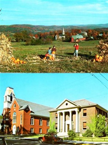 Swanton, along the trail
Photo: R Orville Lyttle · CC BY-SA · Flickr
Photos and rider notes
Trailheads
- 1 Danville Park and Ride restrooms directions
- 2 Hardwick Lamoille Valley Rail Trail Parking directions
- 3 Lamoille Valley Rail Trail directions
- 4 Lamoille Valley Rail Trail Parking directions
- 5 Parking directions
- 6 Parking directions
- 7 Parking directions
- 8 Parking directions
- 9 Parking restrooms directions
- 10 Parking restrooms · water directions
- 11 Parking directions
- 12 Parking directions
- 13 Parking restrooms directions
- 14 Parking directions
- 15 Parking directions
- 16 Parking directions
- 17 Parking directions
- 18 Parking restrooms directions
- 19 Parking directions
- 20 Parking directions
- 21 Parking restrooms directions
- 22 Parking directions
Take it with you
Open data, ODbL. Attribute BikeTheRail and OpenStreetMap contributors.
Something wrong?
Closed section, wrong surface, missing piece? Tell us and a person will check it. Report a problem.
Sources
- OpenStreetMap relation 9679319, OpenStreetMap contributors · Map data · ODbL · checked Oct 12, 2026
- Official trail website · Official site · checked Oct 12, 2026
Every fact above cites a numbered source and the date it was last checked; the list is rebuilt nightly. Know a better source? Add a reference.